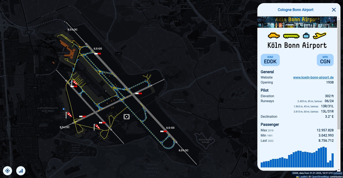
airport situation display
12 February 2025
A comprehensive airport situation display is essential for efficiently monitoring and managing aircraft movements. With the increasing availability of ADS-B data, aircraft positions can be tracked in real-time. By integrating publicly available geospatial data, such as OpenStreetMap (OSM), these movements can be accurately visualized in the context of airport infrastructure.
This study aims to develop an airport situation display that combines real-time and historical data to create a detailed operational overview. The project consists of the following key steps:
- Acquisition and Visualization of Aircraft Positions:
- Real-time display of aircraft movements based on ADS-B data
- Integration of OpenStreetMap data for geographical context
- Analysis and Processing of Historical Data:
- Examination of recorded movement data to identify recurring patterns
- Derivation of key metrics describing operational processes
- Enhancement of the Display with Operational Metrics:
- Visualization of current and forecasted capacity utilization
- Integration of additional relevant information for airport management
Based on these analyses, a concept for an advanced airport situation display will be developed, enabling the visualization of both current operations and anticipated congestion levels. The developed methods and models will be evaluated for their effectiveness and practical applicability.
[Bildquelle: openairportmap]


