Geo-referencing of Velodyne 3D LIDAR data for automotive applications
As autonomous driving is getting more important in the automotive industry, navigation is facing new challenges. Cars should be able to navigate precisely in an urban environment even if satellite-based navigation systems fail or the communication is interrupted. 
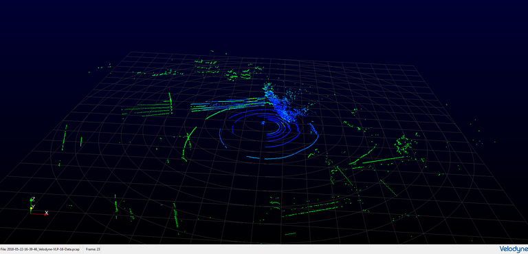
Lately, LIDAR (Light Detection and Ranging) has become a very important sensor in autonomous driving, mainly because of the direct access of 3D data. The LIDAR-sensor creates a real-time 360° scan of the surrounding, giving a cloud of several hundred thousand points per second, each with an exact position representing a part of the environment surrounding the sensor.
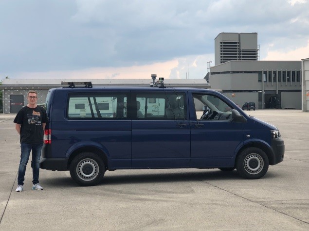
In this project a Velodyne Puck VLP-16 LIDAR is used to scan buildings and objects in a measurement campaign.  The resulting point clouds are compared with point clouds of a highly precise static 3D laser scanner, the Leica Nova MS-60 Multistation. Besides carrying out the measurement campaigns, algorithms to analyze and compare the gained information have to be implemented with MATLAB and other programs. The scope is to quantify the accuracy that the VLP-16 achieves and use this information for further development of absolute positioning algorithms.
